The Arctic air and a prolonged period of light snow arrived as projected for America’s day of thanks. And whether you like it or not, it is here to stay for at least a few more days. We briefly recap the storm and discuss how our Thanksgiving forecast played out. We also give you the details on tonight’s snow event.
Despite freezing drizzle persisting a few hours longer than expected in Boulder, snow totals for the first wave of an Arctic system were spot on with our forecast. Boulder officially recorded 7.1″ of snow from the event. At the BoulderCAST site in NoBo, we measured 6.0″. Save a few hours during the afternoon on Thanksgiving Day, Boulder had more than 50 hours of continuous precipitation, from 8pm Wednesday night until 1am Saturday. The bulk of the snow fell late Thursday into Black Friday from a very persistent and shallow cloud layer supported by upslope within the Arctic airmass. Places in the Foothills, like Nederland and Allenspark, were actually above this layer, and hence, missed out on this continuation of snow. In fact, it was quite sunny above 8,000 feet both Friday and Saturday! This contributed to snow totals in Boulder rivaling and even exceeding those in the some of the higher elevations.
Our final forecast issued Wednesday morning called for the highest snow totals from Boulder westward, with lower snow amounts in the eastern portions of Boulder County and into Denver. Shown below is our original forecast snow total map, with the observed storm totals per location contained in boxes. Green boxes indicate that the observed snowfall was within one inch of the given forecast range, while red was (regrettably) outside the scope of our forecast.
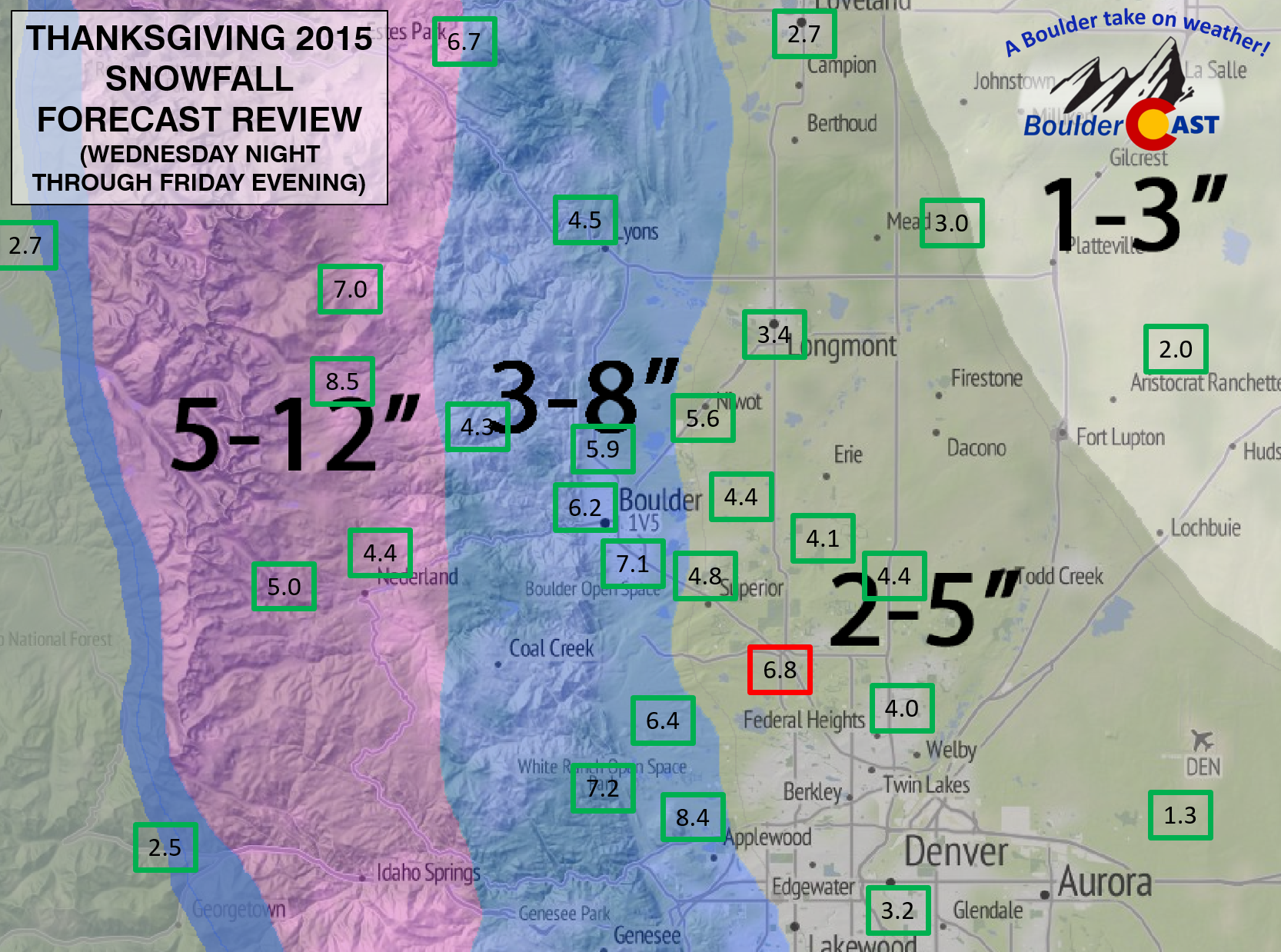
As you can see, nothing but green across the Front Range! Well, if you ignore the one erroneous snow report from Broomfield! This storm definitely was a lot less “interesting” than previous storms, and therefore had much lower probability of surprises.
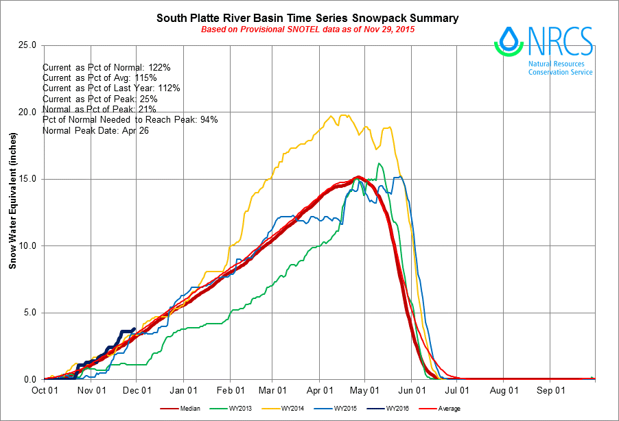
This snow brings our seasonal total to 10.9″. Boulder’s normal snow accumulation through the end of November is 20.9″, so we are well below average at this point. However, it isn’t too late to catch up! On the contrary, we are above normal as far as total precipitation (thanks to all those 34 degree rainy nights). Our mountain snowpack is above normal as well.
More snow is already knocking on our doorstep for this evening.
Today will be our fourth consecutive day entirely below freezing. Quite the feat for November. This evening, we will have a final showdown with the upper-low that has been impacting us since Wednesday. Light snow will overspread the region by 8pm tonight, from south to north, as a surface low deepens in southeast Colorado. The jet will also be overhead, so we do expect a few localized bands of heavy snow to show up across the area — 10 to 25 miles long and just 5 miles wide. Where exactly they will form is hard to say, but we suspect most of the action will remain south and east of Denver, closer to the developing low.
Outside of these bands, most areas are looking at very weak upslope and marginal mid-level ascent, so totals will remain quite low. We are thinking a general 1/2 to 3″ for Boulder County, even the Foothills.
Contradictory to the system’s slow movement over the past week, it will rapidly scurry into the northern Plains this evening. There will only be roughly a six-hour window for snowfall, and freezing drizzle could mix in at times (which would limit snow amounts even further). Areas from Denver south and east will do a little better this time. As such, our forecast map for this brief shot of snow is below.

If you are headed out to the Broncos/Patriots game tonight at Mile High, prepare for both the cold and some snow, especially for the second half. Temperatures will be steady throughout the game in the upper teens. Dress warm!
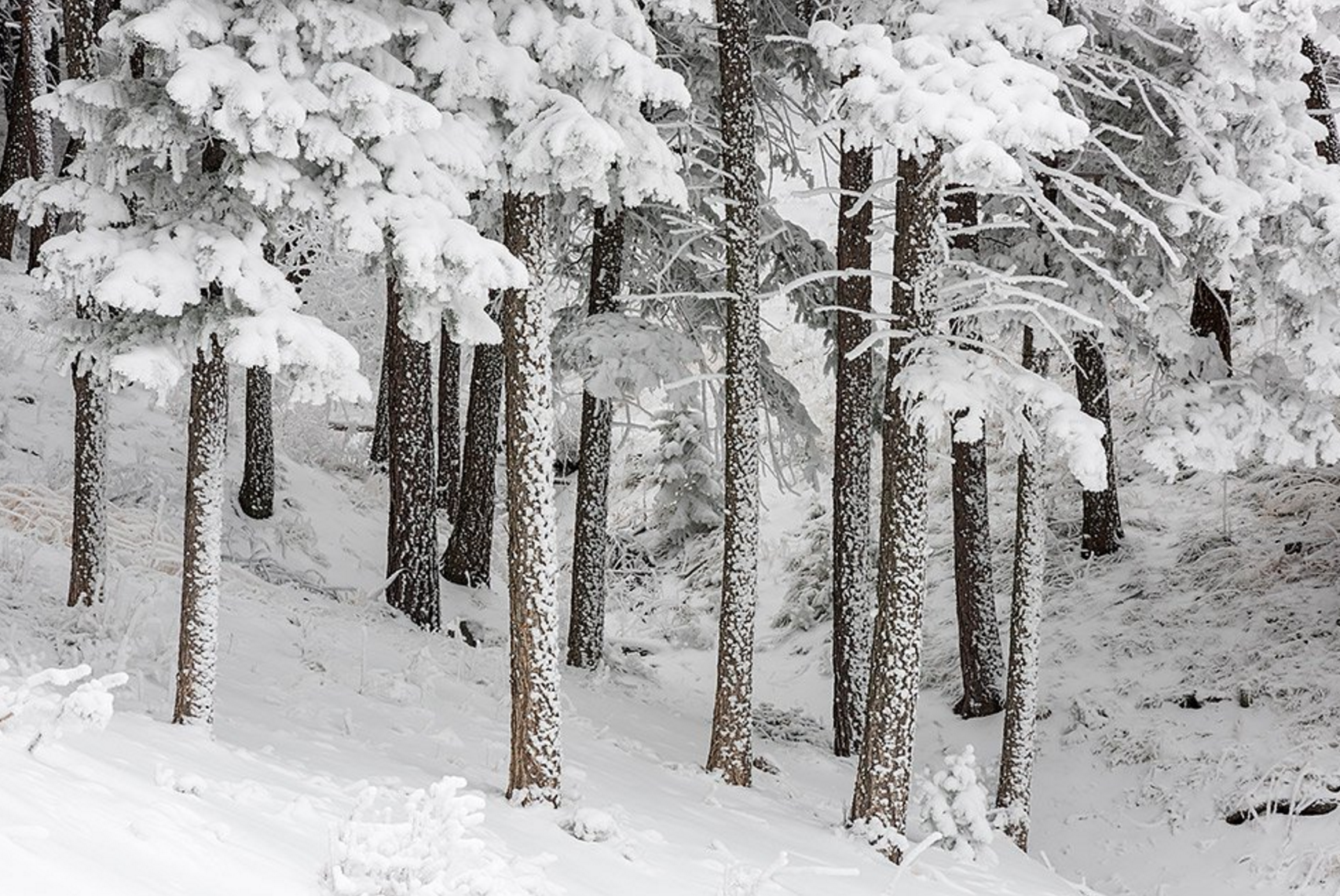
Feature photo credit: Thomas Mangan (Boulder, CO)


You must be logged in to post a comment.