With a strong northwesterly jet overhead and some stable air aloft, conditions were primed for a downslope wind event Monday across the Front Range. It was therefore no surprise that the National Weather Service issued a High Wind Warning for the Foothills yesterday afternoon and evening, excluding the Plains. We review some of the peak wind gusts and discuss the potential for a second wind event later this week.
We stressed in our weekly forecast that wind and warmth would be this week’s major themes, including the forecast of winds in the ballpark of 70 mph yesterday in and near the Foothills.
As an FYI, the criteria for a High Wind Warning are sustained winds in excess of 40 mph for at least one hour, or ANY wind gusts above 58 mph.
Did the warning verify? Here are some gusts from around the area:
- Boulder Rifle Club: 75 mph
- Niwot: 74 mph
- Nederland: 72 mph
- NCAR Mesa Lab: 70 mph
- Broomfield Airport: 66 mph
- Ward: 56 mph
- NCAR Foothills Lab: 50 mph
- Erie Airport: 46 mph
- DIA: 45 mph
- Denver-Centennial Airport: 43 mph
- Boulder Airport: 41 mph
- Univ of Colorado: 40 mph
- Longmont Airport: 39 mph
Overall, the warning upheld nicely for the higher elevations, as well as the lack of a warning on the Plains. Of course, the favored windy areas, like the regions directly north and south of Boulder, had some of the highest gusts, approaching hurricane force. We didn’t see any reports of wind damage, which is always great news during our winter wind storms. Though, we did encounter a makeshift, vehicular obstacle course formed by wind-blown construction signage along Diagonal in North Boulder last night!
The threat of strong winds will return Thursday night into Friday morning as a WSW-erly 100+ knot jet slides south across the state.
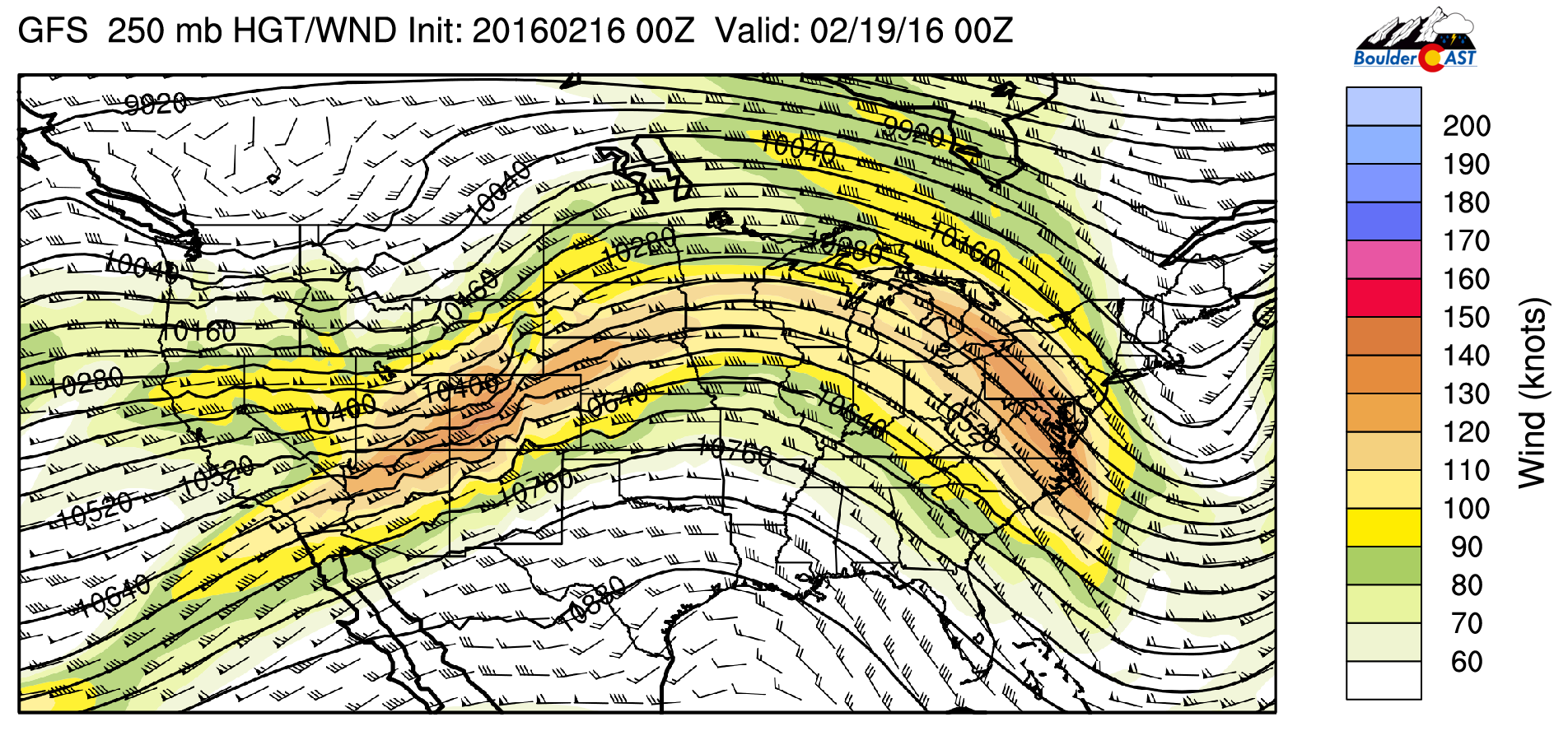
Early indication is that Friday’s potential wind storm won’t be as strong as the one yesterday. However, gusts of 50-60 mph will be possible, borderline for another High Wind Warning.
.


