With the first full-week of July coming to a close, monsoon season is right around the corner for northeast Colorado. However, its arrival is not something you can mark on the calendar as there is no set date for its commencement. It fluctuates substantially from year to year, depending greatly on the weather patterns of Mexico, the southeast USA, and the tropical eastern Pacific Ocean. We discuss the current state of the atmosphere and when we expect the monsoon to finally arrive. It’s already running a tad late.
June 2017 was capped-off with Boulder Country instating a fire ban for areas west of Broadway (Highway 93). The fire restriction had previously been lifted early last autumn, but now makes a return after only 0.45″ of rain was recorded in the city of Boulder during the month of June. This is one of the top-ten driest on record and the lowest total in June since 2012 (the “Summer of Wildfires” in Colorado). We don’t need to mention the “D” word just yet. That was taken care of as a result of our very wet Spring. However, the lack of recent rainfall has done a number to dry out vegetative fuels in the Foothills and the ban is definitely warranted. It’s good they are getting ahead of it this year, instead of waiting until a wildfire ignites to start restrictions like they did last summer (remember the Cold Springs Fire?).
The onset of the monsoon will hopefully help
The diagram below shows the typical set-up for the North American Monsoon. A “monsoon” low pressure in southern California often teams up with high pressure in the southeastern United States to funnel relatively large quantities of low and mid-level moisture northward into the Desert Southwest. This moisture is key to forming widespread monsoon thunderstorms that are a staple of Colorado summer.
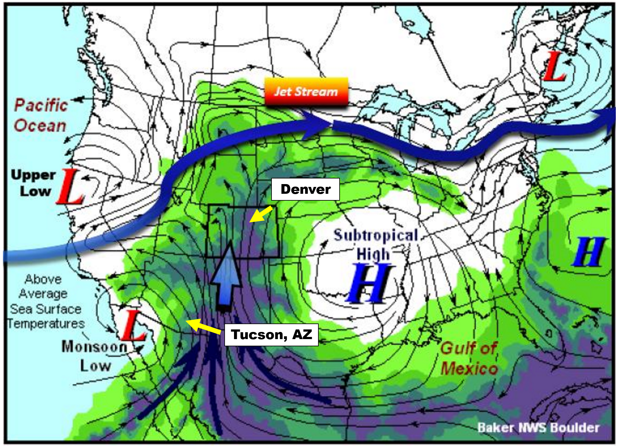
Monsoon set-up diagram | NWS Boulder
One way that we actually CAN track the arrival of the North American Monsoon is to monitor surface dew points in southern Arizona. Cities like Tucson (see location above) are much closer to the source of the moisture than we are here in Denver. The moisture more-or-less has to pass through Tucson as it moves northward into the United States. Tucson is also a pivot-point for the moisture plume itself. Think of Tucson as the “faucet”, with a “hose” of moisture wandering northward. Sometimes the hose if over Nevada, other times it meanders over Utah, and Colorado as well.
While our monsoon is sporadic throughout July and August, the faucet is nearly continuous for Tucson. For this reason, Tucson actually sees more monsoon rainfall than Denver on average, and has a more predictable and consistent monsoon climatology.
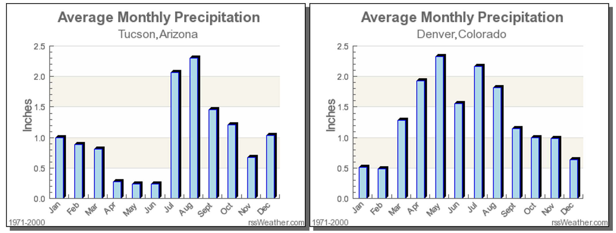
It is largely agreed upon that monsoon season’s official start is when the average daily dew point in Tucson is at least 54 degrees for three consecutive days. Seriously, this is a real thing that is closely monitored by meteorologists and residents of that area. We can’t blame them…July’s average rainfall exceeds the combined total for March, April, May and June in Tucson (above plot on the left). The monsoon is a much bigger reprieve for them than it is for us, especially considering the edge it can take off of those 115-degree afternoons…
The two graphs below show the daily average dew point values at Tucson Airport. The blue line is the actual data from 2017. The red line is climatology and the green line is the coveted 54-degree threshold for the monsoon.
2107 Dew Point Monsoon Tracker | NWS Tucson
As you can see from the graph on the right, yesterday’s average dew point was 51 degrees, with 49 on Tuesday and 53 on Monday. We are very close to the start on monsoon season, but not quite there yet. For reference, 2017 already has the latest commencing monsoon since 2005 (that year it began July 22nd). This late arrival doesn’t necessarily mean much. The end of monsoon season can fluctuate as well, but typically falls in mid-September for Tucson, and about one to two weeks earlier in Colorado.
When will the monsoon begin?
Based on model data for Tucson, it looks like an average daily dew point of 54 degrees will be reached sometime this weekend, probably on Sunday. The third consecutive day, marking the official beginning of monsoon season, would likely be Monday or Tuesday!
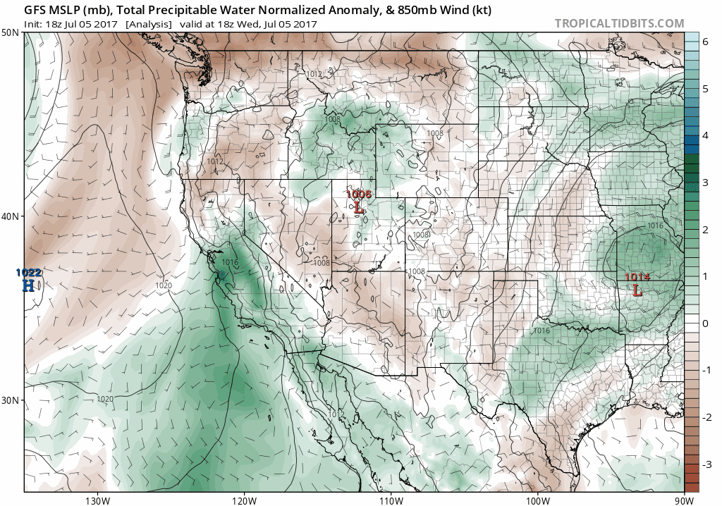
This moisture will still take a few additional days to propagate into Colorado. Based on this timeline, and hints from mid-range ensemble forecasts, we expect the monsoon to start becoming more active for our region by the latter part of NEXT week.
GFS forecast moisture anomaly animation through Tuesday July 18, 2017. We see the monsoon plume building next week.
We may also see a “boost” to the moisture coming our way from soon-to-be Tropical Storm Eugene early next week. Though admittedly, the cyclone is forecast to be a little far away and to be tightly-wound, neither of which bring much confidence in the tropical system helping to pump the moisture northward into the southwestern United States.
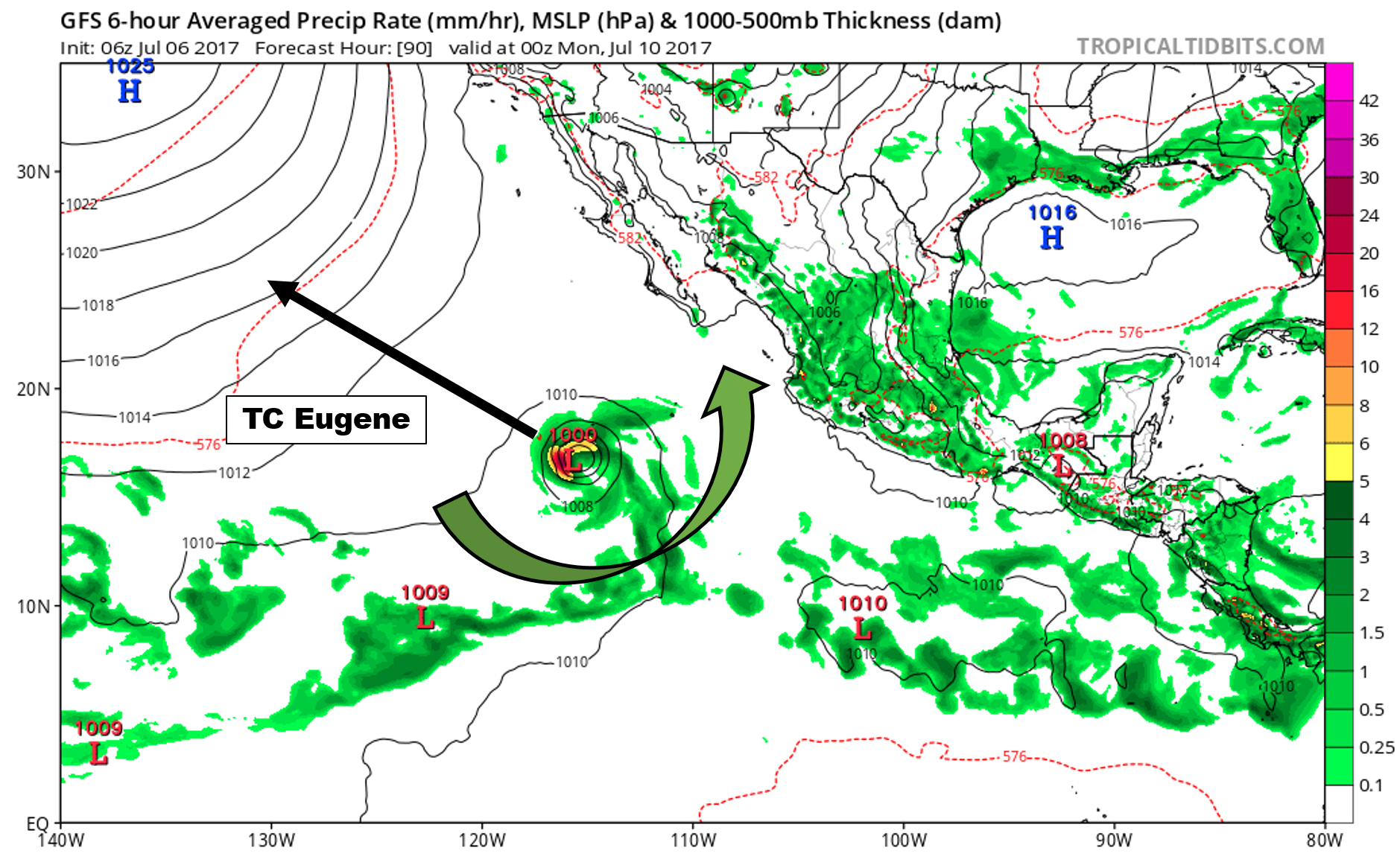
Tropical Storm Eugene off the western coast of Mexico Sunday night. Northerly flow on the eastern flank could help spread monsoon moisture northward.
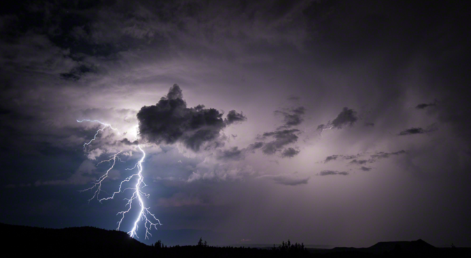
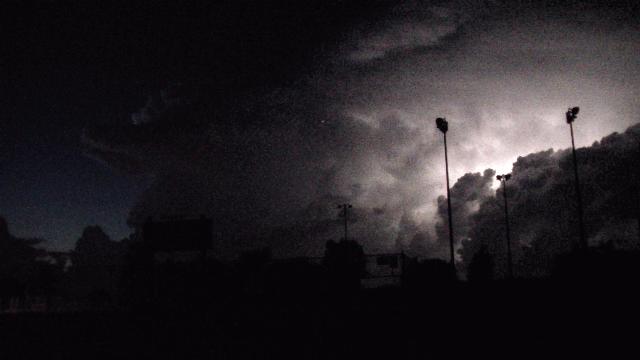
Along with the increased chance of daily thunderstorms, the monsoon brings more dangerous alpine hiking conditions, frequent evening rainbows, warmer nights, more lightning to spark fires, and “stickier” air overall. After today’s near-100 degree heat, we’ll all be ready for it!


Great article!!!