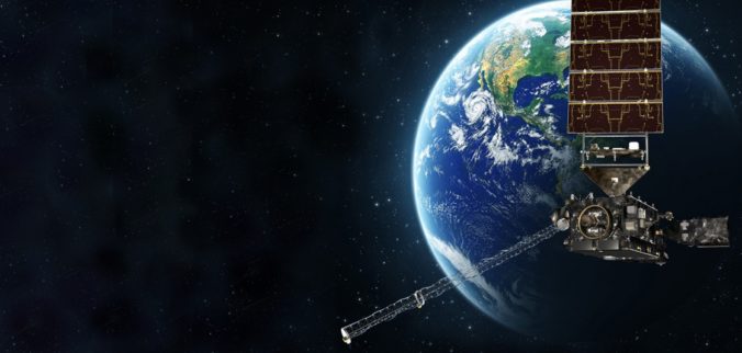
The GOES-16 weather satellite launched on November 19, 2016 and began collecting revolutionary data with a higher temporal, spatial, and spectral resolution than ever before. From the raging wildfires in Montana, to a close-up on the eye of Hurricane Maria, GOES-16 has captured truly awe-inspiring results in 2017. What do you think?
The satellite’s main instrument, the Advanced Baseline Imager, was manufactured by my company, Harris Corporation. We also provided the software which controls the satellite, receives the imagery, and produces the publicly available real-time data products. Whether it’s a land-falling hurricane in Florida or a tornado outbreak in eastern Colorado, GOES-16 can be “aimed” by the meteorologists at NOAA to capture the very best imagery in real-time. From the raging wildfires in Montana, to a close-up on the eye of Hurricane Maria, GOES-16 has captured truly awe-inspiring results since launch. Here’s a video showing the “Top 10” so far:
Congrats to everyone that has been apart of the GOES-16 team! It’s a powerful tool that weather forecasters will be utilizing for years to come.
On my last check, GOES-S is still on-track to launch in just three weeks (March 1, 2018)! This next-generation satellite will eventually take-over the reigns as GOES-West later in 2018, a key enhancement for meteorologists with interests across the western United States. GOES-West has a much better vantage point to observe the northeastern Pacific Ocean, compared to GOES-16. As you know, many low-pressure systems come ashore in the Pacific Northwest before impacting Colorado. Getting a “high-definition” glimpse of them for more than week beforehand will be welcomed. I hope you’re as excited as we are!
CHECK OUT GOES-16 DATA:
This browser from the College of DuPage is probably my favorite way to sift through live GOES-16 data. Most times we show GOES-16 imagery in our forecasts, it will be from this page.
This page from CIRA at Colorado State is a less-technical way to see the power of GOES-16. It shows one awesome clip captured each calendar day. It’s definitively worth checking out!


