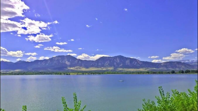
Our weather will be incredible over the next few days with the warmest stretch thus far in 2021 persisting across the Front Range. After the multi-day threat of record high temperatures, we will see a cooldown next week.
DISCLAIMER: This outlook forecast was created Saturday morning and covers the next few days. Accuracy will decrease as time progresses as this post is NOT updated. To receive daily updated forecasts from our team, subscribe to BoulderCAST Premium.

A
s opposed to those big troughs that bring us active weather, big atmospheric ridges contribute to these tamer stretches. The next few days will be no exception with a very anomalous ridge of high pressure parked directly over Colorado and in fact much of the continental United States this weekend. The 500mb height anomaly forecast animation below shows us the ridge and that it will linger into early Tuesday before a weak system moves in from the Pacific Northwest.

We’ve got nothing but beautiful weather in the pipeline through Monday with highs in the middle 70’s to lower 80’s expected across the Front Range. Saturday will be completely sunny, while partly cloudy skies are expected Sunday and Monday.

This warm stretch is the real deal. It’s not typically this toasty in early April. Daily record high temperatures will be challenged and likely broken across our area over the next few days, especially on Sunday and Monday. We’ve already seen numerous record highs shattered upstream yesterday under this very same ridge from California all the way to North Dakota (see below).

Here are the daily records to beat in the coming days for Boulder and Denver…
HISTORICAL DAILY RECORD HIGHS
| Saturday (Apr 3) | Sunday (Apr 4) | Monday (Apr 5) | |
| Boulder | 77°F | 78°F | 80°F |
| Denver | 78°F | 76°F | 82°F |
After Monday, we’ll begin to cool off slightly. The system we mentioned earlier is currently slated to push across Wyoming Tuesday into early Wednesday. The best forcing for precipitation from this system will be in Wyoming and Montana, with largely downslope in eastern Colorado, but temperatures will trend downwards regardless. There will be a chance of showers in the Mountains, though, with perhaps even a few raindrops around Boulder and Denver late Tuesday into early Wednesday. Anything that does materialize would be extremely spotty and probably be virga (rain that evaporates before reaching the ground).

With the warm pre-trough airmass in place, snow levels will be fairly high across Colorado as this storm skirts to our north. Snow levels will start above 10,000 feet early Tuesday, falling below 8000 feet by Tuesday night. To be clear, we’re not expecting much if any precipitation east of the Continental Divide. These snow levels will primarily impact mountain peaks and high mountain valleys in terms of rain and snow. Minimal accumulation is expected overall statewide with this quick-moving low pressure.

After near-record highs through Monday, temperatures will cool off Tuesday and beyond. Most model consensus does suggest that temperatures will largely remain above normal through next week, but with 60’s being the target, not 80’s!

Enjoy the gorgeous weekend! We’ll be back Monday with our usual weekly outlook.
Saturday: Sunny and very warm with highs in the mid to upper 70’s on the Plains and lower 60’s in the Foothills.
Sunday: Partly cloudy and dry with record highs likely. Highs near 80 degrees on the Plains and middle 60’s in the Foothills.
Monday: A mix of clouds and sunshine with record highs likely. A slight breeze from the south and southwest. Highs near 80 degrees on the Plains and middle 60’s in the Foothills.
Help support our team of Front Range weather bloggers by joining BoulderCAST Premium. We talk Boulder and Denver weather every single day. Sign up now to get access to our daily forecast discussions each morning, complete six-day skiing and hiking forecasts powered by machine learning, first-class access to all our Colorado-centric high-resolution weather graphics, bonus storm updates and much more! Or not, we just appreciate your readership!
.
Spread the word, share the BoulderCAST forecast!
.


You must be logged in to post a comment.