Don’t be fooled by the sun’s appearance this afternoon – the storm that has been plaguing the area since Wednesday has one last gasp left before exiting our region tomorrow.
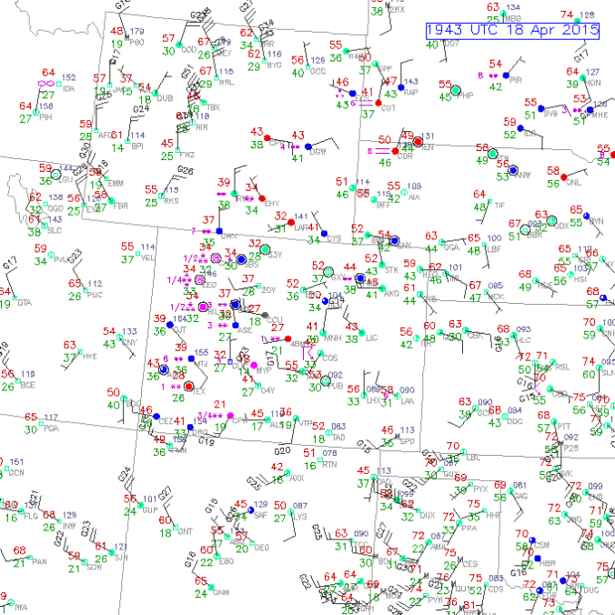
Temperatures across the Plains are generally in the low 50s this afternoon, with partly cloud skies. There are a few scattered showers around, but nothing substantial. The upper level low is currently centered near La Junta, with the most of the precipitation associated with the deformation zone pushed north into Wyoming, which has most of NE Colorado in the dry slot. However, as the upper low slowly slides east, this band will make one final push through the region later this evening into Sunday morning.
In the lower atmosphere, winds will increase from the north as surface high pressure builds in and will be in the 15-25 mph range across the area tomorrow morning, ushering in a weak cold front and a tad cooler air. This wind direction is not all that favorable for precipitation in the lower elevations of Boulder County, but enough lift (from the deformation zone) and low-level moisture are in place to get some light precipitation in all areas before the storm exits the region mid-day Sunday. In the Mountains, 6-12” of additional snow is to be expected, with 3-8″ in the Foothills. In the forecast map below, for 3am MT Sunday, during the “height” of the precipitation event for Boulder County, wet-bulb temperatures remain above 35 degrees, indicating that temperatures on the Plains, including Boulder, will remain warm enough (~33 to 37 degrees at the coldest point overnight) to prevent any real accumulation, except in the heaviest bands. Even then, don’t expect more than 1″ of wet snow on the grassy and elevated surfaces. In most lower elevation areas, look for light rain, with occasional snow mixing in.
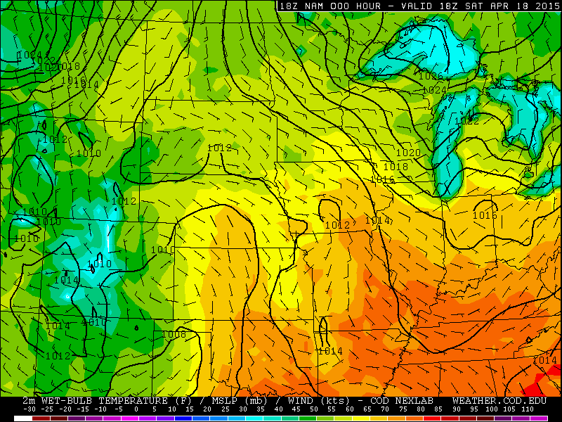
Forecast for Wet Bulb Temp (colors), sea-level pressure (contours), and surface wind barbs from the NAM model, valid at 6am MT Sunday
A couple of small disturbances and northwest flow will keep the region active, particularly in the higher mountains, through the week, with drastically improving conditions by mid-week on the Plains. You will finally be able to say hello to those 60s, with some sunshine, come Wednesday!


